Law enforcement agencies rely on a wide range of data to piece together a person’s movements during investigations. By analyzing digital footprints from cell phones, GPS devices, and even social media, investigators can create a detailed timeline of your whereabouts. This process is crucial for solving criminal cases, verifying alibis, and understanding behavioral patterns in a world where technology tracks nearly every step we take.
How Your Digital Footprint Creates a Travel Map
Every day, you generate a trail of digital data that can be used to reconstruct your travels. This information comes from various sources, many of which you use without a second thought. From making a phone call to buying a coffee, these actions create data points that, when combined, paint a clear picture of your movements over time.
Investigators gather these different pieces of data to build a comprehensive timeline. This data-driven approach allows law enforcement to connect individuals to specific locations at precise times, which can be critical for an investigation.
Here is a breakdown of the common data types that agencies use:
| Data Type | Description |
|---|---|
| GPS Data | Coordinates and locations from GPS-enabled devices. |
| Mobile Phone Records | Calling and location data from mobile service providers. |
| Credit Card Transactions | Records showing where and when you made purchases. |
| Surveillance Camera Footage | Video evidence from cameras in public and private places. |
| Public Transportation Records | Data on your usage of buses, trains, and subways. |
The Role of GPS and Mobile Phone Data
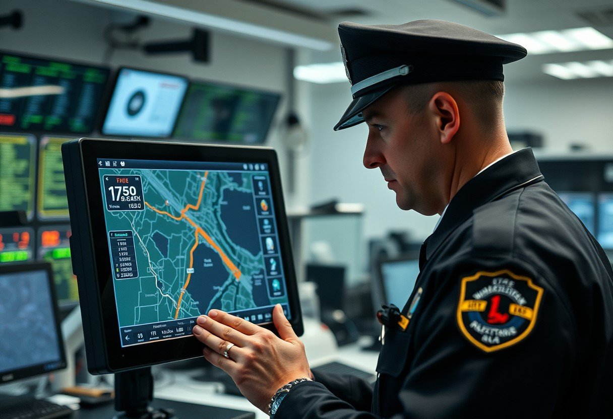
Two of the most powerful tools for travel reconstruction are GPS data and mobile phone records. GPS information, collected from smartphones or vehicle navigation systems, provides exact location coordinates, offering a precise log of where a device has been.
Mobile phone records are just as valuable. Even if your GPS is off, your phone constantly communicates with nearby cell towers. By analyzing which towers your phone connected to and when, investigators can use a method called cell tower triangulation to estimate your location during a specific period. This helps establish general whereabouts and movement patterns.
These records can reveal frequently visited locations, unusual trips, and connections between different events. For example, analyzing these logs can help investigators confirm or disprove a suspect’s alibi by placing their phone at a different location than they claimed to be.
Social Media and Public Posts as Evidence
What you share online can become a key part of an investigation. Law enforcement agencies often look at social media activity to gather clues about a person’s location and timeline. Your posts, check-ins, and photos can unwillingly create a digital diary of your movements.
The geotagging feature is particularly useful for investigators. When you post a photo with location data enabled, you are embedding precise geographical information into the post. This can place you at a specific spot at a specific time.
- Check-Ins: Announcing your arrival at a restaurant, airport, or event creates a clear digital marker of your location.
- Tagged Photos: Photos you are tagged in by friends can also place you at a scene, even if you did not post anything yourself.
- Public Posts: Simply describing what you are doing or where you are can provide context and clues for investigators.
These seemingly harmless updates can serve as vital evidence, helping to build a narrative of your activities that can be cross-referenced with other data sources.
Visual Confirmation through Surveillance Footage
Sometimes, investigators need visual proof to confirm a person’s presence at a location. This is where surveillance footage becomes essential. Video recordings from various cameras help create a visual timeline of an individual’s journey and interactions.
Traffic cameras installed on highways and intersections are a primary source. They capture footage of vehicles and can record license plates, helping authorities track a car’s route or verify a person’s travel claims.
Private security cameras from businesses and homes are another critical resource. These systems often cover entrances, parking lots, and surrounding areas, capturing footage that might fill in the gaps left by public cameras. By combining footage from multiple sources, law enforcement can reconstruct events with much greater accuracy.
Following the Money and Transit Trails
Your financial transactions and use of public transport also leave a detailed record of your movements. Every time you use a credit or debit card, you create a data point that includes the location and time of the purchase. Investigators can obtain these records to see where you have been shopping, eating, or buying gas.
Similarly, public transportation records are very helpful. When you use a transit card or a contactless payment method to ride a bus, train, or subway, the system logs your entry and exit points. This data allows authorities to trace your journey through a city with remarkable precision.
Such logs can reveal significant travel patterns and connections to other individuals, assisting law enforcement in establishing timelines crucial for solving cases.
Legal Boundaries and Privacy Concerns
While this data is invaluable for solving crimes, its use raises important legal and ethical questions. There is a constant balance between ensuring public safety and protecting individual privacy rights. The improper handling of personal data can erode public trust and lead to legal challenges for law enforcement agencies.
Strict regulations are in place to govern how this information can be accessed. Law enforcement agencies typically need to obtain a warrant or subpoena to access private data like cell phone records or credit card transactions.
These legal rules are designed to protect citizens from unreasonable searches. Evidence obtained without following the proper legal protocols can be challenged in court and may be thrown out, highlighting the importance of adhering to these standards.
Frequently Asked Questions about Travel Data Reconstruction
What is the most common type of data police use to track someone?
Law enforcement most commonly uses a combination of GPS data, cell phone location records from cell towers, and surveillance footage. These sources often provide the most consistent and reliable information for building a timeline of a person’s movements.
How accurate is cell phone location data in investigations?
The accuracy of cell phone location data can vary. In urban areas with many cell towers, it can be quite precise. However, in rural areas with fewer towers, the location estimate may cover a much larger area, making it less accurate.
Can police use my social media posts against me?
Yes, if your social media posts are public, they can be accessed and used by law enforcement as evidence. Information like check-ins, geotagged photos, and public status updates can help establish your location and activities at a certain time.
What are the legal limits for accessing this travel data?
Law enforcement must follow strict legal protocols, which often require a warrant based on probable cause to access private data like historical cell phone records or GPS logs from a tech company. These rules are in place to protect your privacy rights under the law.
Are older records like flight itineraries also used?
Yes, historical data sources like flight itineraries, hotel bookings, and even utility records can be used. These documents help investigators reconstruct past travel patterns and can be crucial for understanding events that happened long before an investigation began.


Leave a Comment